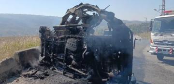
Cyclone Ditwah alters Sri Lanka’s upcountry terrain


Cyclone Ditwah has reshaped parts of Sri Lanka’s upcountry terrain through a series of landslides, according to Surveyor General N.K.U. Rohana.
He said the disaster has created the need to update the national land-use map series, News.Az reports, citing foreign media.
To ensure accuracy, the Survey Department plans to obtain high-resolution satellite imagery from space stations orbiting Sri Lanka. These images will help identify landslide-affected areas and assess damage to river basins, land, and agricultural zones.
Rohana noted that detailed satellite images will be requested once the situation stabilizes and repairs to damaged water bodies and roads show further progress. The department has already collected several low-resolution images from affected provinces and has begun preliminary assessments.
The Survey Department is also seeking international support to acquire high-resolution imagery, reaching out to China, India, Japan, the United States, and Russia through diplomatic channels. China has already supplied several close-up images showing flooded regions and landslide-hit areas.

Similar news