Volcanic ash threat: aircraft near Indonesia risk flying into plume - PHOTO


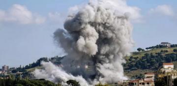
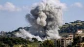
Explosive activity continues at the Dukono Volcano, with a significant volcanic ash plume rising to an altitude of approximately 10,000 feet (3,000 meters), posing potential risks to aviation.
The ash cloud was detected on satellite imagery at around 10:00 UTC on April 7. The plume extended east-southeast and was moving in a southeasterly direction at a speed of about 10 knots, News.Az reports, citing the Volcanic Ash Advisory Center Darwin.
The advisory, issued under code FVAU03, indicates that ash emissions remain continuous and clearly visible on satellite data, supported by ground observations and model forecasts. The eruption column is currently assessed to reach flight level 100 (FL100), which is within the altitude range commonly used by aircraft, increasing the risk for aviation operations in the region.
RECOMMENDED STORIES
Forecast models suggest that the ash cloud will persist and continue drifting over the coming hours, maintaining similar altitude levels. By +6, +12, and +18 hours, the ash dispersion is expected to spread further across parts of eastern Indonesia, depending on wind patterns.
Experts warn that the eruption is ongoing, and further advisories are expected. Airlines operating in the region are advised to monitor updates closely and adjust flight paths if necessary.

Dukono, located in northern Halmahera Island, is one of Indonesia’s most active volcanoes and is known for frequent eruptions that regularly generate ash plumes affecting regional air traffic.

Similar news